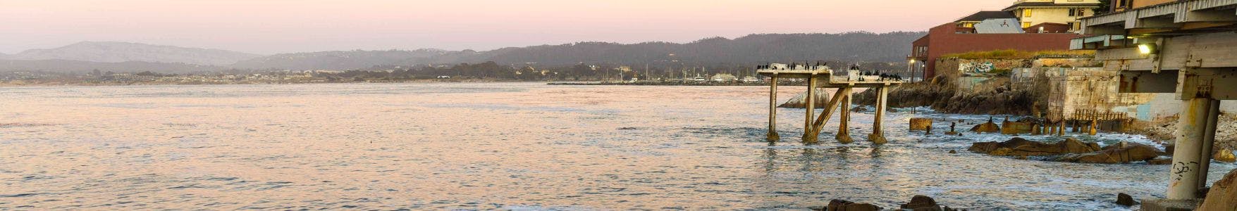
Sea Level Rise Vulnerability Assessment, Adaptation Plan, and Economic Analysis
A robust science and engineering-based sea level rise assessment and adaptation plan is needed to support the City in the development of informed and focused policies and programs on sea level rise adaptation and resilience. The City applied for and was awarded a Local Coastal Program (LCP) Local Assistance Grant from the Coastal Commission in 2024. The LCP Local Assistance Grant will fund the preparation of an updated sea level rise vulnerability assessment and adaptation plan that would be prepared concurrently with the Draft Local Coastal Plan (LCP). Once the LCP is certified, an LCP amendment will be needed to update the City’s LCP policies and programs related to sea level rise resilience and adaptation.
The study prepared under the LCP Local Assistance Grant will include two phases: Phase 1 - data gathering and existing conditions, a background report, vulnerability assessment, economic analysis, and preliminary adaptation plan strategies, and Phase 2 - a final adaptation plan with actionable next steps, and development and adoption of an LCP amendment informed by the project. Both phases will include public outreach and community engagement, such as community outreach meetings, focus group meetings, virtual reality engagement, workshops, a survey, and pop-up outreach at community events/centers.
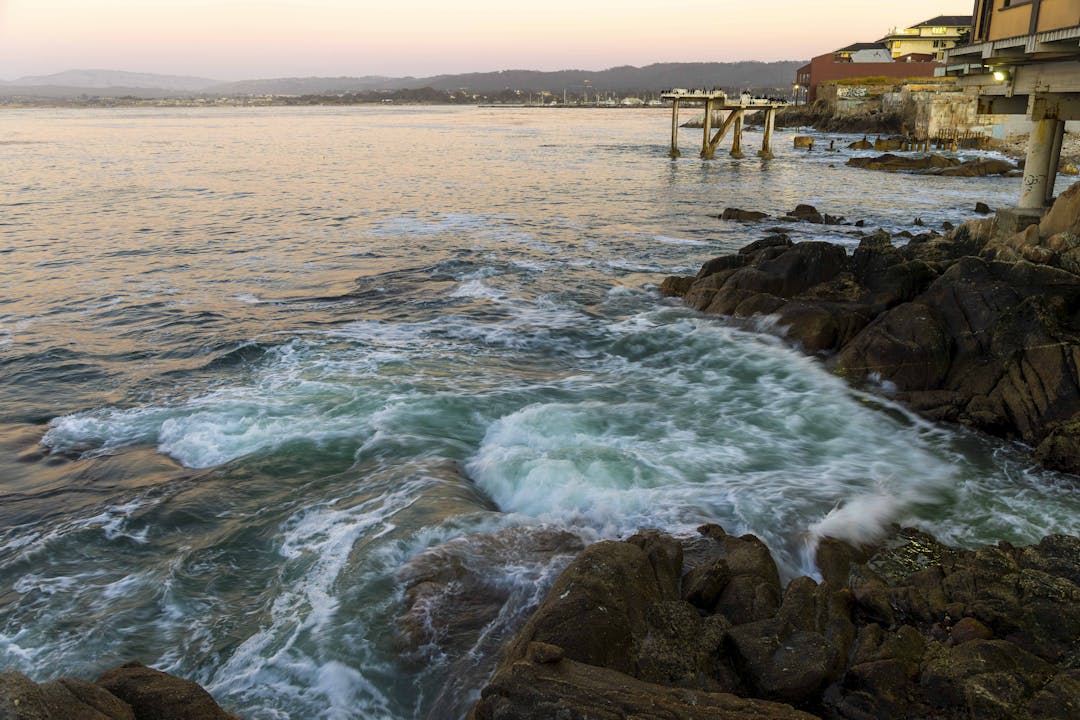
The overall goal of this project is to identify strategies and solutions designed to mitigate the impacts of sea level rise and climate change. The project will help the City create a roadmap to allocate resources to the right projects and programs at the appropriate time based on observed conditions and to navigate the challenges posed by sea level rise and climate change. It will focus on preserving and enhancing coastal habitat, protecting coastal-dependent development and resources, as well as providing and enhancing lower-cost visitor and recreational opportunities while ensuring public access for all. The work will also align with the Coastal Act goals of protecting coastal resources without creating new environmental burdens or exacerbating existing ones related to environmental justice.

-
Background Report
Share Background Report on Facebook Share Background Report on Twitter Share Background Report on Linkedin Email Background Report link The first task of the Coastal Commission LCP Local Assistance Grant has been completed. A Sea Level Rise Assessment Background Report has been prepared that compiles findings from a variety of sea level rise studies and other relevant analyses that have already been completed for the City and wider Monterey Bay area. The Background Report provides a synthesis of these existing studies with a summary of the types of hazards assessed, identified vulnerabilities, and proposed adaptation strategies. In addition, the report identifies current data gaps or information that needs to be updated to reflect newer science and best practices. This information will inform subsequent tasks so that work is not duplicated but rather integrated and expanded upon.
The City's consultant, GHD, has started the Vulnerability Assessment that will consider risks that the City, its assets, and its coastal resources are likely to encounter as the impacts of sea level rise and coastal hazards worsen over time. The assessment will divide the City coastline into transects/subareas based on similarities in land uses and coastal form to provide a clear framework for assessing localized impacts within each defined area. The assessment will address relevant gaps identified in the background report, will include assessment of impacts of sea level rise on historically marginalized communities, and will be consistent with the California Ocean Protection Council (OPC) 2024 State Sea Level Rise Guidance.
Community outreach is anticipated to start in early 2026.
CA OPC 2024 Sea Level Rise Guidance

Who's Listening
-
Principal Planner

Email sabdo@monterey.org -
Planning Manager

-
Community Development Director

Email cole@monterey.org -
City Engineer/Deputy Public Works Director
